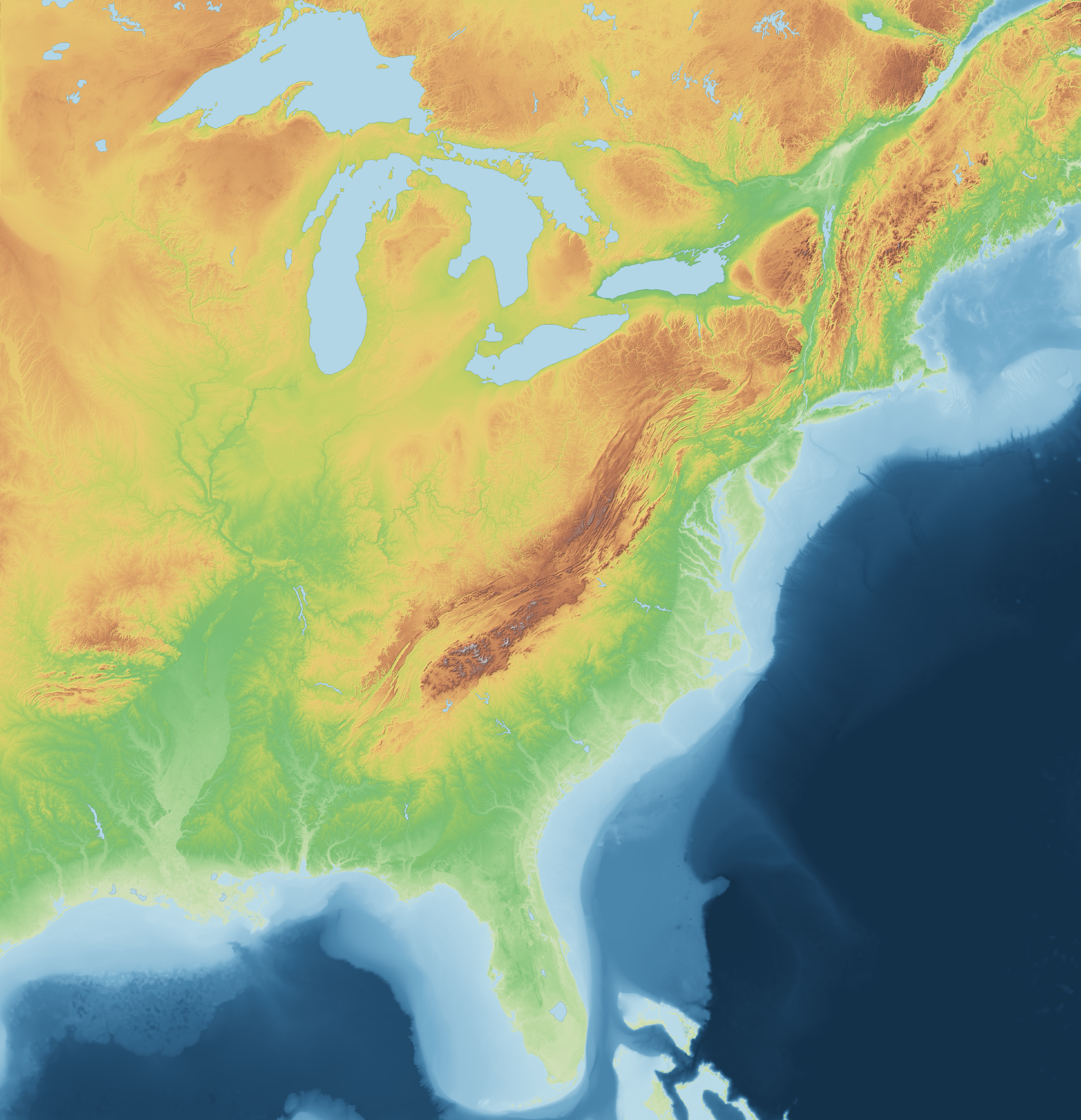
Green lowland → tan hills → brown-grey summits; blue is water (ocean colour follows depth). Shaded relief from a northwest light source, vertical exaggeration 2×. Plain image: eastern-us-elevation.png
Colour-coded by elevation with analytical hillshading — -96.5°W to -66.2°W, 24.2°N to 49°N. Hover for elevations.
Green lowland → tan hills → brown-grey summits; blue is water (ocean colour follows depth). Shaded relief from a northwest light source, vertical exaggeration 2×. Plain image: eastern-us-elevation.png